Sacramento Weather News - August 26, 2025
SACRAMENTO, CA (Aug. 26, 2025) - An unusually active weather pattern interrupted what has been a dry summer in Sacramento today, bringing scattered thunderstorms to the region amid seasonably warm temperatures.
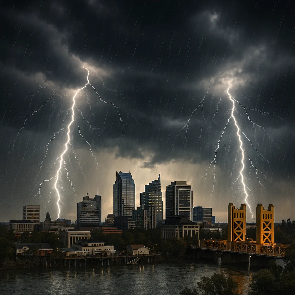
A series of small thunderstorms formed to the north of Sacramento during the late-morning hours and drifted southward, producing brief heavy rainfall, lightning and hail in spots north and east of the city. Storm cells were first reported around Chico and the northern Sacramento Valley before moving toward the Delta and Stanislaus County early this afternoon.
The National Weather Service in Sacramento issued a Flood Watch this morning for the Sierra Nevada’s eastern slope-including Truckee and the Lake Tahoe area-in anticipation of widespread afternoon and evening storms fueled by a surge of monsoonal moisture. Thunderstorm chances across the Sierra range from 20% to 40% today, with localized downpours possible.
By midday, conditions in downtown Sacramento were mostly cloudy, with a temperature of 78.1°F, humidity at 22%, and northerly winds sustained at 11.5 mph. Despite the storm activity to the north, the city itself saw no measurable rainfall, and skies became partly sunny by mid-afternoon.
Highs in Sacramento reached 93°F under clearing skies later this afternoon, with a light southwest breeze and negligible precipitation probability. Tonight’s low is forecast at 63°F, accompanied by mostly clear skies and a 5% chance of rain.
Looking ahead, warmer and drier conditions are expected to return Wednesday through Friday, with afternoon highs climbing back into the mid-90s across the valley. Sporadic thunderstorm chances will persist in the high country.
Categories
Beauty and fashion Business and finance Climate Entertainment Food and drink Games Health Hobbies and leisure Jobs and education Law and government Other Politics Science Shopping Sports Technology Travel and transportationRecent Posts
Tags