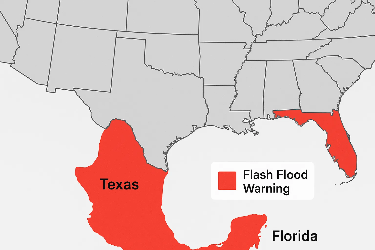
Flash Flood Warnings Issued Across Southern U.S. on August 30, 2025

DATELINE: Saturday, August 30, 2025
A Flash Flood Watch was expanded this morning by the National Weather Service in Midland/Odessa, Texas, covering parts of southeastern New Mexico and western Texas. The watch, effective from 3 PM MDT this afternoon through Sunday morning, warns of very high rainfall rates of 2 to 4 inches per hour and total accumulations of 1 to 2 inches already observed. Affected counties include Eddy, Lea, Gaines, Dawson, Borden, Scurry, Andrews, Martin, Howard and Mitchell, with potential flooding of rivers, creeks, low-lying urban areas and poor-drainage crossings.
In northeastern Florida, the First Coast News meteorologist reported a Flash Flood Warning in effect until 12:30 PM EDT for Nassau County, centered over Hilliard. Radar estimates indicate 2 to 4 inches of rain has fallen in the past hour, with localized amounts up to 3.5 inches. Additional rainfall of 1 to 3 inches could cause urban flooding, creek overflows and pooling on roadways.
The Weather Prediction Center also maintained a Slight Risk (Level 2 of 4) for excessive rainfall from eastern New Mexico into West Texas and the Plains for today. The outlook highlights the potential for 2-3 inch rain totals, especially where terrain and burn scars enhance runoff, leading to isolated flash flood threats.
Categories
Autos and vehicles Beauty and fashion Business and finance Climate Entertainment Food and drink Games Health Hobbies and leisure Jobs and education Law and government Other Politics Science Shopping Sports Technology Travel and transportationRecent Posts
Tags