Storms Bring Heavy Rain and Flooding Risks to Houston on August 31, 2025
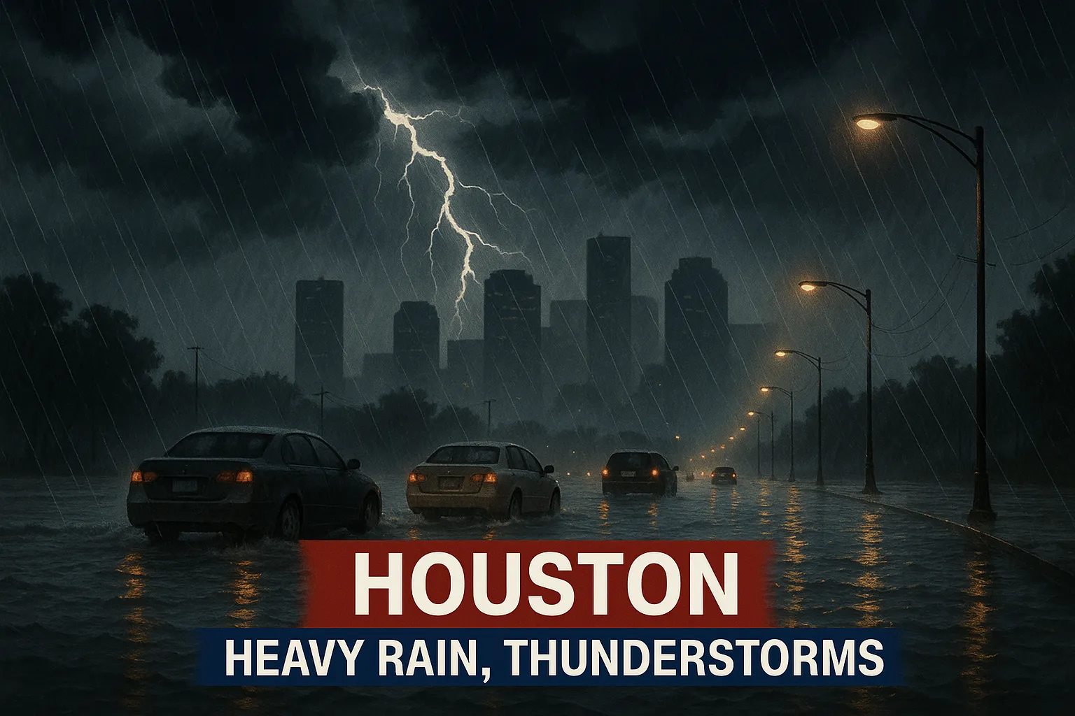
HOUSTON, TX - A stalled frontal boundary and abundant Gulf moisture ushered in rounds of showers and thunderstorms across the Houston metropolitan area on Sunday, August 31, leading to localized street flooding and travel disruptions.
A line of coastal storms tracked southeast into the metro region just after midday, producing torrential downpours, frequent cloud-to-ground lightning, and gusty winds. Heaviest activity moved through between noon and early evening, with brief but intense rainfall rates of 2-4 inches per hour in isolated cells, resulting in ponding and flash flooding on poorly drained roadways.
Federal Aviation Administration data indicate a ground stop at George Bush Intercontinental Airport (IAH) remained in effect until 1:00 p.m. CDT due to the storms, with a 30-60% chance of extension. The halt primarily affected arriving flights, though departure schedules saw sporadic delays as well.
Forecasters cautioned residents to “turn around, don’t drown” when encountering flooded streets. Despite the heavy rain, there was no widespread severe-weather threat such as tornadoes or large hail. The primary hazards remained flooding and lightning strikes.
Looking ahead into Labor Day Monday, scattered showers and embedded thunderstorm waves are expected along the stalled front, though overall activity should diminish slightly. Beginning Tuesday, a reinforcing cold front will usher in drier air and lower humidity, with morning lows dipping into the upper-60s and afternoon highs settling in the low-90s, offering a brief respite before the peak of fall precipitation arrives.
Categories
Autos and vehicles Beauty and fashion Business and finance Climate Entertainment Food and drink Games Health Hobbies and leisure Jobs and education Law and government Other Politics Science Shopping Sports Technology Travel and transportationRecent Posts
Tags