Severe Thunderstorm Warnings Disrupt Communities Across Canada and the U.S.
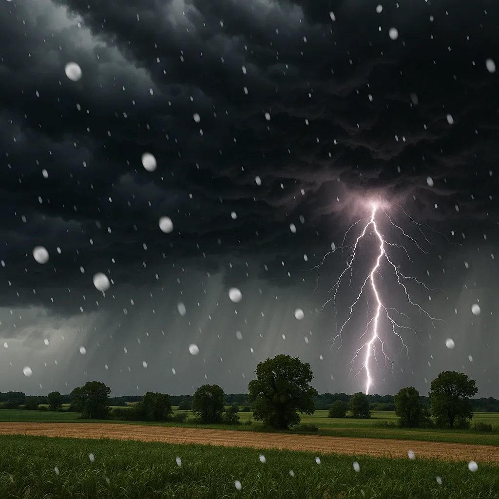
Regina, SK (September 1, 2025) - Environment and Climate Change Canada (ECCC) and the U.S. National Weather Service (NWS) issued multiple severe thunderstorm warnings on Monday as powerful storm cells swept through parts of southern Saskatchewan, the central Plains, and the Southwest.
Canadian Alerts
At 3:47 p.m. CST, ECCC placed east-central and southeast Saskatchewan under a severe thunderstorm warning after radar detected a slow-moving line of storms capable of producing ping-pong-ball-sized hail and torrential downpours. One system tracking from Porcupine Provincial Forest threatened communities southwest of Kamsack, while a second cluster-able to hail the size of two-dollar coins-advanced toward Kipling and Wawota shortly before 3:30 p.m. Residents were urged to seek shelter immediately to avoid flying debris and hail damage. By 4:15 p.m., much of the province’s southeast corner was under an ongoing severe thunderstorm watch.
U.S. Warnings
Simultaneously, numerous NWS offices across the central and southern Plains and the Southwest issued warnings as storms tracked at speeds up to 30 mph:
- Oklahoma: A line of severe thunderstorms moved southeast from Foss Reservoir through Custer City toward Oakwood at 7:14 p.m. CDT, driven by sustained winds that posed a significant risk of hail and damaging gusts.
- Arizona: At 4:53 p.m. MST, storms extending from San Tan Mountain Park southward toward Florence prompted warnings for Maricopa and Pinal counties, with cell motions toward the southwest at 10 mph.
- North Dakota & Kansas: Additional warnings covered sectors of North Dakota around Mott and Hettinger, as well as Sumner and Harper counties in Kansas, with storms producing frequent lightning, heavy rain, and potential hail through the evening hours.
Residents throughout the warned areas were advised to monitor local forecasts, secure outdoor objects, and avoid travel during peak storm activity. The combination of strong updrafts, ample moisture, and wind shear contributed to rapid storm development and the potential for localized flash flooding, large hail, and damaging winds.
Emergency officials reiterated standard severe-weather safety measures: move indoors away from windows, avoid driving in heavy rain or hail, and stay tuned to Environment Canada or NWS broadcasts for updates and storm track information.
Categories
Autos and vehicles Beauty and fashion Business and finance Climate Entertainment Food and drink Games Health Hobbies and leisure Jobs and education Law and government Other Politics Science Shopping Sports Technology Travel and transportationRecent Posts
Tags
Archives
08/19/2025 (3) 08/20/2025 (40) 08/21/2025 (27) 08/22/2025 (22) 08/23/2025 (4) 08/24/2025 (21) 08/25/2025 (30) 08/26/2025 (24) 08/27/2025 (29) 08/28/2025 (16) 08/29/2025 (9) 08/30/2025 (13) 08/31/2025 (17) 09/01/2025 (167) 09/02/2025 (124) 09/03/2025 (149) 09/04/2025 (112) 09/05/2025 (72) 09/06/2025 (169) 09/07/2025 (162) 09/08/2025 (150) 09/09/2025 (176) 09/10/2025 (194) 09/11/2025 (194) 09/12/2025 (186) 09/13/2025 (207) 09/14/2025 (159) 09/15/2025 (175) 09/16/2025 (198) 09/17/2025 (196) 09/18/2025 (196) 09/19/2025 (207) 09/20/2025 (129) 09/21/2025 (4)