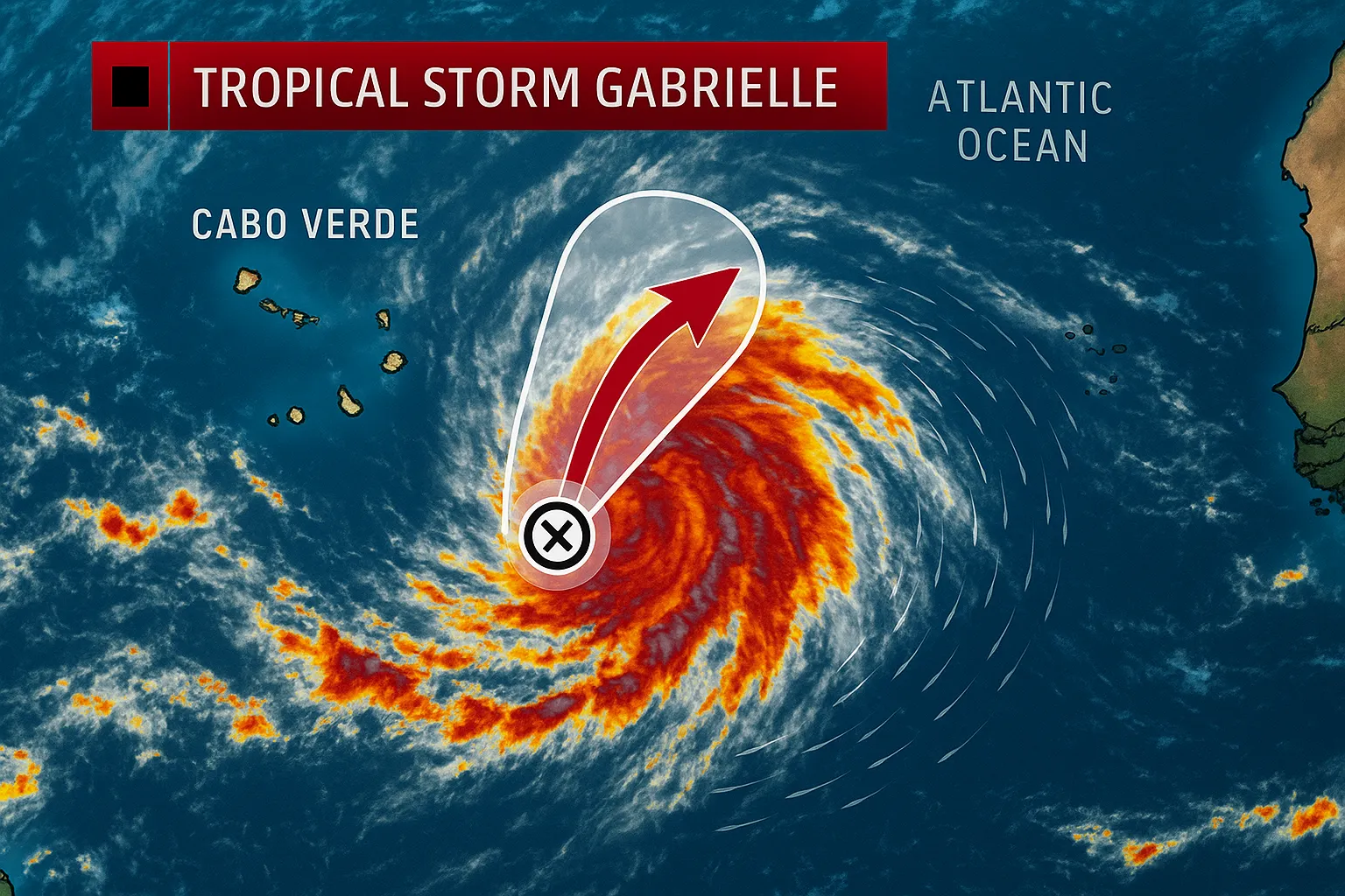
NHC Raises Odds for Tropical Storm Gabrielle Formation

WASHINGTON, D.C., September 2, 2025 - The National Hurricane Center (NHC) reported Tuesday that a tropical wave located south of the Cabo Verde Islands shows increasing signs of development and could become Tropical Storm Gabrielle later this week. Environmental conditions-including warm sea-surface temperatures and moderate wind shear-are expected to support gradual cyclogenesis as the system moves west-northwest at approximately 15 mph across the eastern and central tropical Atlantic.
In its 8 a.m. EDT Tropical Weather Outlook, the NHC assigned the disturbance a 30 percent chance of forming into a tropical cyclone within 48 hours and a 70 percent chance within seven days. Satellite imagery Tuesday afternoon revealed disorganized showers and thunderstorms, but the wave remains embedded within the monsoon trough and is beginning to exhibit a weak low-level circulation.
Model guidance offers divergent scenarios for Gabrielle’s eventual track. The European and UK models suggest slower strengthening, potentially allowing the system to drift farther west toward the northeastern Caribbean. In contrast, the American (GFS) model indicates more rapid intensification and a turn to the northwest well east of the Lesser Antilles. Forecasters caution that the timing of Gabrielle’s formation will be key in determining its latitude: a faster spin-up would favor a more northerly path, while a slower development increases the odds of a closer approach to the Caribbean.
Although it is too early to rule out any land impacts, all forecasts indicate Gabrielle will remain over open waters through at least early next week. Interests in the Caribbean and Bermuda should continue to monitor the NHC’s updates as the peak of the Atlantic hurricane season unfolds.
Categories
Autos and vehicles Beauty and fashion Business and finance Climate Entertainment Food and drink Games Health Hobbies and leisure Jobs and education Law and government Other Politics Science Shopping Sports Technology Travel and transportationRecent Posts
Tags
Archives
08/19/2025 (3) 08/20/2025 (40) 08/21/2025 (27) 08/22/2025 (22) 08/23/2025 (4) 08/24/2025 (21) 08/25/2025 (30) 08/26/2025 (24) 08/27/2025 (29) 08/28/2025 (16) 08/29/2025 (9) 08/30/2025 (13) 08/31/2025 (17) 09/01/2025 (167) 09/02/2025 (124) 09/03/2025 (149) 09/04/2025 (112) 09/05/2025 (72) 09/06/2025 (169) 09/07/2025 (162) 09/08/2025 (150) 09/09/2025 (176) 09/10/2025 (194) 09/11/2025 (194) 09/12/2025 (186) 09/13/2025 (207) 09/14/2025 (159) 09/15/2025 (175) 09/16/2025 (198) 09/17/2025 (196) 09/18/2025 (196) 09/19/2025 (207) 09/20/2025 (129) 09/21/2025 (4)