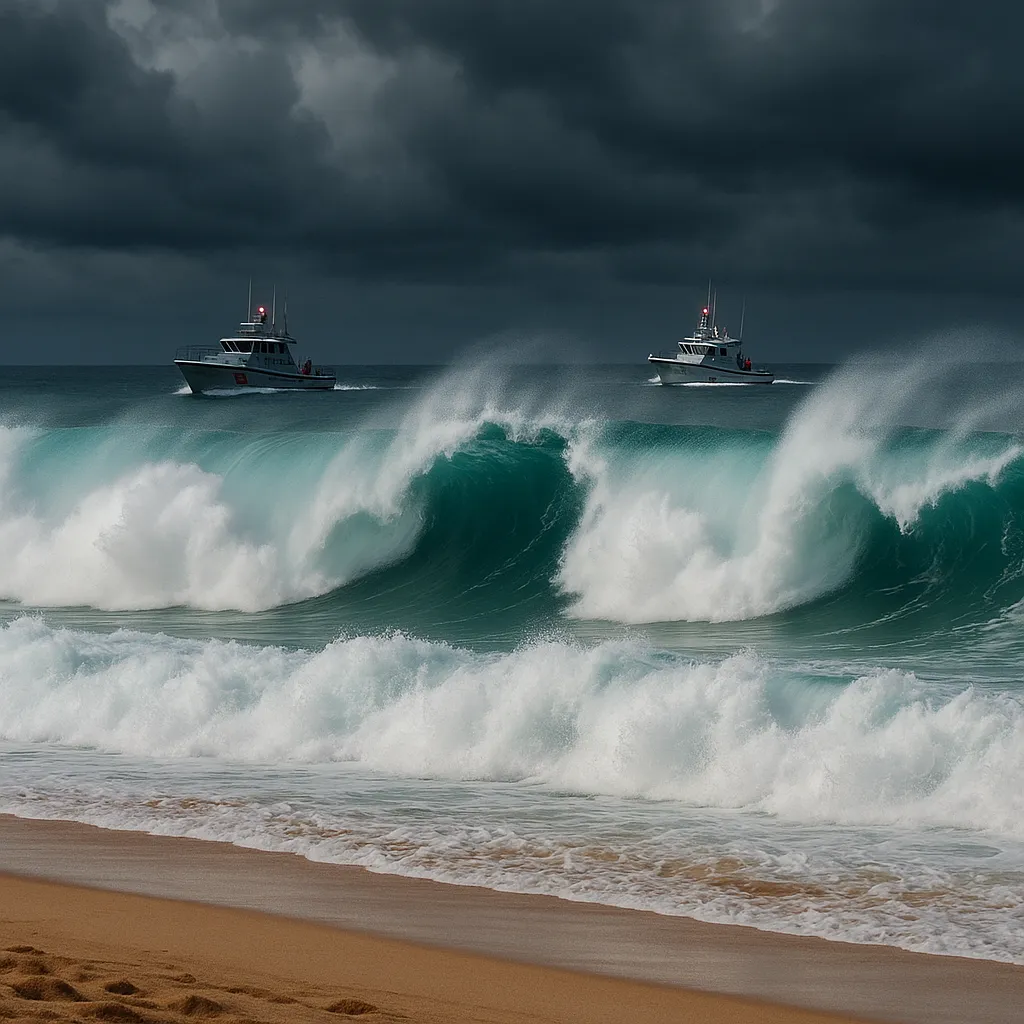
Hawaii Braces for Swells and Rip Currents as Hurricane Kiko Nears

Hawaii’s acting governor declared a state of emergency Sunday, activating the National Guard and state resources ahead of life-threatening surf and rip currents driven by Hurricane Kiko’s approach to the islands.
The proclamation comes as Hurricane Kiko, now a Category 4 storm situated about 1,000 miles east of Hilo, is forecast to weaken to a tropical storm by Tuesday but still generate large swells along east-facing shores. Officials say the move is crucial to pre-position response teams and warn residents and visitors to heed coastal advisories.
Emergency Declaration and Preparedness
- Governor’s Action: Acting Governor Sylvia Luke issued the emergency order on Friday, mobilizing the Hawaii National Guard and unlocking state funds to support local agencies.
- Resource Activation: Emergency shelters, marine patrols, and shoreline monitoring teams are being readied for potential evacuations and rescues.
- Public Advisory: Residents are urged to secure loose items, avoid low-lying coastal areas, and stay updated via local media and the Hawaii Emergency Management Agency.
Storm Forecast and Coastal Impact
Hurricane Kiko, with sustained winds of 140 mph, is expected to skirt north of the islands, reducing direct wind threats but still producing:
- Dangerous Surf: Waves of 10-15 feet possible along east-facing shores, heightening erosion risks and beach hazards.
- Rip Currents: Life-threatening currents likely from Sunday onward; ocean users should stay out of the water unless launching from lifeguarded beaches.
- Rainfall: Limited downpours anticipated, though localized heavy showers could cause minor flooding in windward areas.
Expert Insight
“We’re optimistic that Kiko’s trajectory will spare us from major impacts,” said meteorologist Joseph Clark of the National Weather Service in Honolulu. “But even weakened, the storm’s swells can pose serious dangers to swimmers and small craft”-underscoring the need for caution near shorelines.
Ongoing Monitoring
State and federal forecasters will continue tracking Kiko’s path. Any significant shift southward could elevate rain and wind risks, while a northward drift would further diminish threats. Updates are expected each morning through mid-week as Kiko moves closer to the central Pacific.
Categories
Autos and vehicles Beauty and fashion Business and finance Climate Entertainment Food and drink Games Health Hobbies and leisure Jobs and education Law and government Other Politics Science Shopping Sports Technology Travel and transportationRecent Posts
Tags
Archives
08/19/2025 (3) 08/20/2025 (40) 08/21/2025 (27) 08/22/2025 (22) 08/23/2025 (4) 08/24/2025 (21) 08/25/2025 (30) 08/26/2025 (24) 08/27/2025 (29) 08/28/2025 (16) 08/29/2025 (9) 08/30/2025 (13) 08/31/2025 (17) 09/01/2025 (167) 09/02/2025 (124) 09/03/2025 (149) 09/04/2025 (112) 09/05/2025 (72) 09/06/2025 (169) 09/07/2025 (162) 09/08/2025 (150) 09/09/2025 (176) 09/10/2025 (194) 09/11/2025 (194) 09/12/2025 (186) 09/13/2025 (207) 09/14/2025 (159) 09/15/2025 (175) 09/16/2025 (198) 09/17/2025 (196) 09/18/2025 (196) 09/19/2025 (207) 09/20/2025 (129) 09/21/2025 (4)