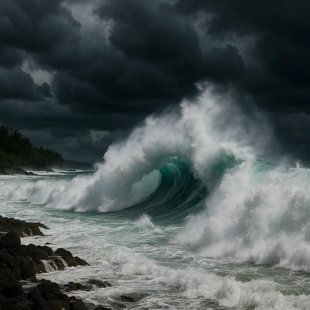
Hurricane Kiko Skirts North of Hawaiian Islands, Triggers Life-Threatening Surf

Hurricane Kiko weakened to a tropical storm as it passed north of the Hawaiian archipelago on Tuesday, sparking dangerous east-facing surf and prompting continued emergency preparations.
Emergency officials kept a statewide alert in place and urged residents and visitors to avoid coastal waters due to high surf and rip currents, even though the storm’s core remained offshore.
Governor Sylvia Luke’s proclamation activating state and county resources to clear debris and secure infrastructure remained effective through Sept. 19, while the National Weather Service warned that east-facing beaches could see waves up to 15 feet and strong rip currents through midweek.
The National Hurricane Center reported Kiko’s sustained winds had dropped below hurricane strength by late Monday, with the storm center about 450 miles northeast of Hilo and tracking west-northwest at 14 mph. Although no direct landfall was expected, swell models showed peak wave heights building along Maui, Oʻahu and Hawai‘i Island east coasts on Tuesday.
Coastal forecasters issued high-surf advisories for all east-facing shorelines, warning surfers and swimmers of “life-threatening” rip currents. Swimming at unguarded beaches was strongly discouraged, and lifeguards prepared rescue teams for heightened call-out levels.
In Honolulu, state-run outdoor pools and popular surf breaks were closed as ocean conditions deteriorated. Officials reiterated that while Kiko’s wind and rain impacts would be minimal, the storm’s swells posed the greatest hazard to waterfront communities.
Forecasters expect Kiko to weaken further into a tropical depression by Thursday as it drifts over cooler Pacific waters. Meanwhile, residents were advised to monitor local advisories for updates on surf conditions and coastal hazards.
Categories
Autos and vehicles Beauty and fashion Business and finance Climate Entertainment Food and drink Games Health Hobbies and leisure Jobs and education Law and government Other Politics Science Shopping Sports Technology Travel and transportationRecent Posts
Tags
Archives
08/19/2025 (3) 08/20/2025 (40) 08/21/2025 (27) 08/22/2025 (22) 08/23/2025 (4) 08/24/2025 (21) 08/25/2025 (30) 08/26/2025 (24) 08/27/2025 (29) 08/28/2025 (16) 08/29/2025 (9) 08/30/2025 (13) 08/31/2025 (17) 09/01/2025 (167) 09/02/2025 (124) 09/03/2025 (149) 09/04/2025 (112) 09/05/2025 (72) 09/06/2025 (169) 09/07/2025 (162) 09/08/2025 (150) 09/09/2025 (176) 09/10/2025 (194) 09/11/2025 (194) 09/12/2025 (186) 09/13/2025 (207) 09/14/2025 (159) 09/15/2025 (175) 09/16/2025 (198) 09/17/2025 (196) 09/18/2025 (196) 09/19/2025 (207) 09/20/2025 (129) 09/21/2025 (4)