Tornado Touches Down in San Juan County, Utah, Prompting Warnings but No Injuries
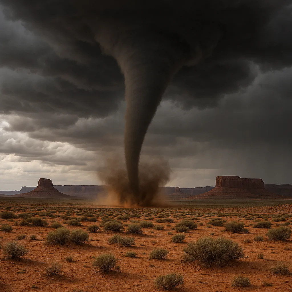
BLANDING, Utah (Sept. 13, 2025) - A tornado briefly touched down in eastern San Juan County this morning, triggering a Tornado Warning and prompting residents to take cover; no injuries or significant damage were reported.
The rare twister, confirmed by storm chasers northeast of Montezuma Creek around 1:15 p.m., moved northeast across sparsely populated areas before dissipating, underscoring an unusual late-season threat to southeastern Utah.
Tornado Confirmation and Warning
- The National Weather Service issued the first Tornado Warning at 1:30 p.m. after radar and spotter reports indicated rotation near Dry Valley Flats.
- A live-tweeted video showed a funnel cloud touching down roughly 15 miles northeast of Montezuma Creek.
- The warning covered east-central San Juan County until 1:45 p.m., advising residents to seek sturdy shelter.
Path and Impact
- The tornado tracked northeast at about 10 mph, crossing BLM grazing lands and avoiding major roads.
- Strong winds and quarter-size hail accompanied the funnel, but no structures or power lines were damaged.
- Local authorities reported only minor debris-fallen branches and scattered fencing-and no injuries.
Community Response
- San Juan County Emergency Management activated its storm watch protocol, alerting rural residents via NOAA weather radios.
- Blanding and Monticello schools remained open but held indoor recess as a precaution.
- First responders conducted drive-through checks in remote areas; no assistance was required.
Weather Outlook
- The National Weather Service warns of more intense thunderstorms through Monday, with isolated severe hail and gusty winds possible.
- Rain chances increase Friday as a cold front moves in, potentially curbing further severe weather.
Residents are advised to monitor NOAA updates and maintain weather-aware practices during the lingering storm season.
Categories
Autos and vehicles Beauty and fashion Business and finance Climate Entertainment Food and drink Games Health Hobbies and leisure Jobs and education Law and government Other Politics Science Shopping Sports Technology Travel and transportationRecent Posts
Gunman Arrested After Country Club Wedding Shooting in Nashua
Trump, Vance Honor Charlie Kirk at Massive Arizona Funeral
DOJ Closes Bribery Probe into Border Czar Tom Homan
Bad Bunny Concludes Puerto Rico Residency with Star-Studded Amazon Livestream
Multiple Shot, Including One Fatality, at Sky Meadow Country Club
Bad Bunny Delivers Historic “Una Más” Livestream Finale from Puerto Rico
‘28 Years Later’ Arrives on Netflix, Three Months After Theatrical Debut
Cyberattack Snarls Check-In Systems at Major European Airports
Premier League Sees Upsets as Liverpool Edges Everton
Chelsea’s Adarabioyo Drafted In After Sanchez Sent Off at Old Trafford
Superman Premieres on HBO Linear Tonight as Streaming Hit
Southern Skies to Darken: Partial Solar Eclipse Looms Tomorrow
Venus’s Square with Uranus Fuels Independence in Today’s Horoscopes
Dublin Airport’s Terminal 2 Evacuated and Reopened After Security Alert
Tell me what happened today 09/20/2025: “tcu” and write it in news format in English.
Clemson University Dismisses Three Employees After Free Speech Controversy
Braun Strowman Unveils USA Network Series and Horror Sequel Role
Noem Launches National ICE Initiative via Social Media
Binance Implements Margin and Leverage Adjustments on September 20, 2025
Spurs Salvage Late Draw at Brighton
Tags
Archives
08/19/2025 (3) 08/20/2025 (40) 08/21/2025 (27) 08/22/2025 (22) 08/23/2025 (4) 08/24/2025 (21) 08/25/2025 (30) 08/26/2025 (24) 08/27/2025 (29) 08/28/2025 (16) 08/29/2025 (9) 08/30/2025 (13) 08/31/2025 (17) 09/01/2025 (167) 09/02/2025 (124) 09/03/2025 (149) 09/04/2025 (112) 09/05/2025 (72) 09/06/2025 (169) 09/07/2025 (162) 09/08/2025 (150) 09/09/2025 (176) 09/10/2025 (194) 09/11/2025 (194) 09/12/2025 (186) 09/13/2025 (207) 09/14/2025 (159) 09/15/2025 (175) 09/16/2025 (198) 09/17/2025 (196) 09/18/2025 (196) 09/19/2025 (207) 09/20/2025 (129) 09/21/2025 (4)