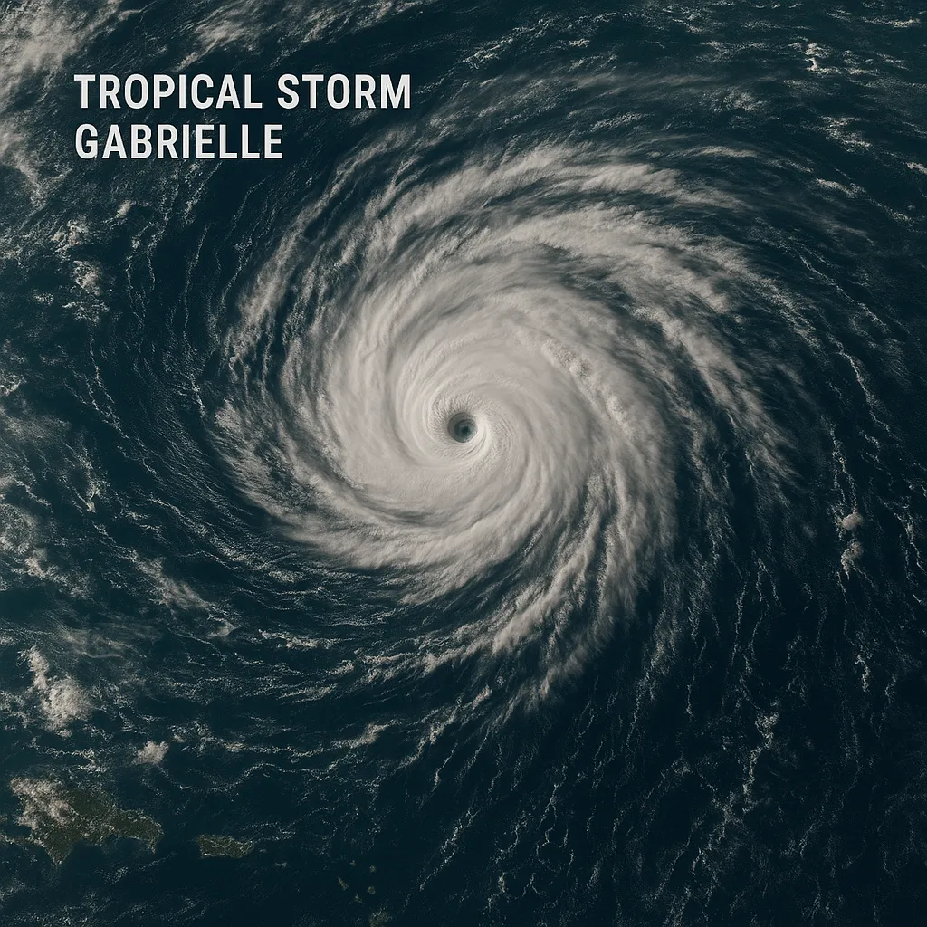
Tropical Storm Gabrielle Struggles to Organize, Intensification Still Likely

Tropical Storm Gabrielle remained over open waters on Thursday, positioned about 845 miles east of the Northern Leeward Islands, with maximum sustained winds near 50 mph and moving west-northwest at 15 mph. Forecasters warn it could become a Category 1 hurricane by early next week, though its structure is currently hindered by wind shear and dry air.
Storm’s Significance Gabrielle is the seventh named storm of the 2025 Atlantic hurricane season and ends an unusually quiet three-week lull in tropical activity during the season’s climatological peak. Its evolution will test predictions of an above-average season initially forecast by NOAA.
Storm Status
- Location: 845 miles east of the Northern Leeward Islands at 5 a.m. Thursday
- Movement: West-northwest at 15 mph
- Winds: Sustained at 50 mph, gusting higher
- Pressure: Estimated minimum central pressure of 1004 mb
No tropical watches or warnings are in effect for any land areas, as the storm remains well offshore.
Forecast and Impacts
Forecasters at the National Hurricane Center project little change in strength over the next 48 hours, with gradual intensification likely late this weekend. Gabrielle could reach hurricane strength by Monday, though hostile atmospheric conditions may cause intermittent weakening.
- Possible Effects
- Hazardous surf and rip currents along parts of the East Coast by next week
- Localized high surf and rough seas for Bermuda if the storm veers northward
Residents of Bermuda and the northern Leeward Islands are advised to monitor updates, despite no immediate threat to land. Emergency managers continue to prepare contingency plans should Gabrielle’s trajectory shift.
Categories
Autos and vehicles Beauty and fashion Business and finance Climate Entertainment Food and drink Games Health Hobbies and leisure Jobs and education Law and government Other Politics Science Shopping Sports Technology Travel and transportationRecent Posts
Tags
Archives
08/19/2025 (3) 08/20/2025 (40) 08/21/2025 (27) 08/22/2025 (22) 08/23/2025 (4) 08/24/2025 (21) 08/25/2025 (30) 08/26/2025 (24) 08/27/2025 (29) 08/28/2025 (16) 08/29/2025 (9) 08/30/2025 (13) 08/31/2025 (17) 09/01/2025 (167) 09/02/2025 (124) 09/03/2025 (149) 09/04/2025 (112) 09/05/2025 (72) 09/06/2025 (169) 09/07/2025 (162) 09/08/2025 (150) 09/09/2025 (176) 09/10/2025 (194) 09/11/2025 (194) 09/12/2025 (186) 09/13/2025 (207) 09/14/2025 (159) 09/15/2025 (175) 09/16/2025 (198) 09/17/2025 (196) 09/18/2025 (196) 09/19/2025 (207) 09/20/2025 (129) 09/21/2025 (4)